
Original AI-assisted PlowWow illustration with the approved Wow mascot. Imagined setting, not archive footage or a completed customer job.
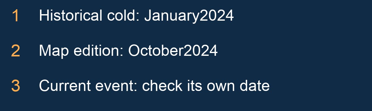
By the PlowWow team · Originally published October 29, 2026 · Substantively revised October 29, 2026. Historical event: January 2024; local-source review: October 2026.
The historical event is not the local forecast
The January 2024 Arctic outbreak was a major western Canadian weather event recorded in ECCC’s retrospective. That regional account does not establish today’s conditions on a Coquitlam hill.
This article keeps its historical URL and original publication date. Its October 29 revision replaces the previous general shared-route planning format with a specific local explanation: Coquitlam’s snow response distinguishes road categories that include access to steep local-road subzones. It is a local policy detail, not a prediction that a particular neighbourhood will receive more snow.
Coquitlam’s second priority has a hillside detail
The City’s snow-response FAQ describes first-priority emergency and transit connections. Its second-priority category includes access to schools, community-care facilities and subzones with a high proportion of local roads steeper than 10 percent. Response timing may change with an event’s intensity, severity or duration.
That makes “a residential road” an incomplete description for understanding the framework. The published Snow Response Plan map, dated October 2024, is a source for the categories—not a live map of road conditions or completed passes. Check the City’s current information before relying on an older downloaded copy.
A map category does not supply the condition of a hill
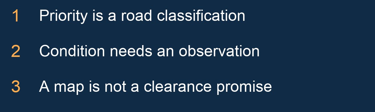
The distinction between classification and observation is the centre of this local story. A priority category explains why an authority may attend one connection before another. It does not establish traction, visibility or the state of a particular entrance at a particular time.
It would be wrong to use the map as a guarantee of a clear journey. It would also be wrong to infer a neighbourhood’s weather from the category. Those claims require current, location-specific evidence. A resident’s photograph can add useful detail if dated and located, but it still cannot describe every nearby route.
Why an event can change the order
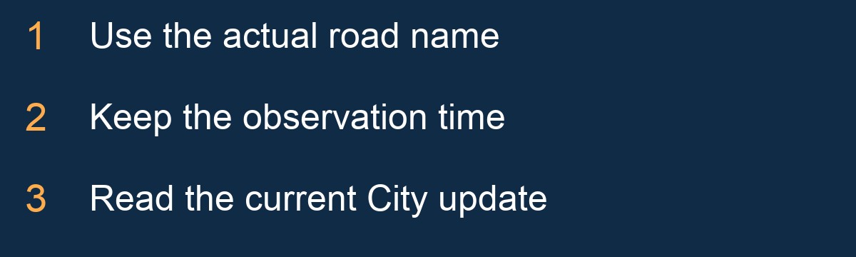
The City’s wording explicitly allows response timing to move with event conditions. That means an apparent delay cannot be interpreted from a category label alone. A useful report should identify the actual road, the observation time and the relevant official update rather than assuming the entire response follows a fixed clock.
This explanation does not report an unverified failure, a specific January 2024 operation or a current closure. It gives readers a more precise way to understand future information. The policy question is how roads are classified; the weather question is what is happening now. They belong in the same conversation, but they are not the same evidence.
A different winter signal is now in the news
The2026–27 El Niño discussion concerns a projected Pacific climate event, not a replay of January 2024. Our Greater Vancouver story explains the dated primary outlooks and why the playful “Godzilla” nickname cannot forecast a Coquitlam hillside.
The short local conclusion is to read the map for its categories and current forecasts for the approaching weather. Keep a private-property discussion separate from municipal road claims. PlowWow’s enquiry page is available for a real scope conversation, or call 604-761-1518; a starting estimate does not confirm a booking. The Wow artwork remains an imagined editorial scene, not a photograph of a completed Coquitlam service.