
Original AI-generated PlowWow editorial illustration using the approved Wow mascot. Imagined scene, not a forecast map, actual property or completed service.
By the PlowWow team · October 29, 2026 · Seasonal news and original local analysis
An exceptional Pacific signal is the winter story
The “Godzilla” winter conversation has a real scientific development behind it: forecasters are watching a strengthening El Niño, not announcing a giant snowstorm for Vancouver. In its October 21 statement, the World Meteorological Organization says this event could reach unprecedented strength and peak late in 2026. The word could matters. An outlook for a future peak is not a completed measurement.
That distinction changes the story for Greater Vancouver. A powerful Pacific climate signal can shift the odds for a season without telling us the date of a local snowfall. It is a reason to pay attention to the evolving winter outlook, not a reason to announce either a snow emergency or a snow-free winter. Our playful “PlowWow versus Godzilla” hook is about that tension: a huge headline, and a region whose actual weather still has to unfold.
What is being measured—and what is not
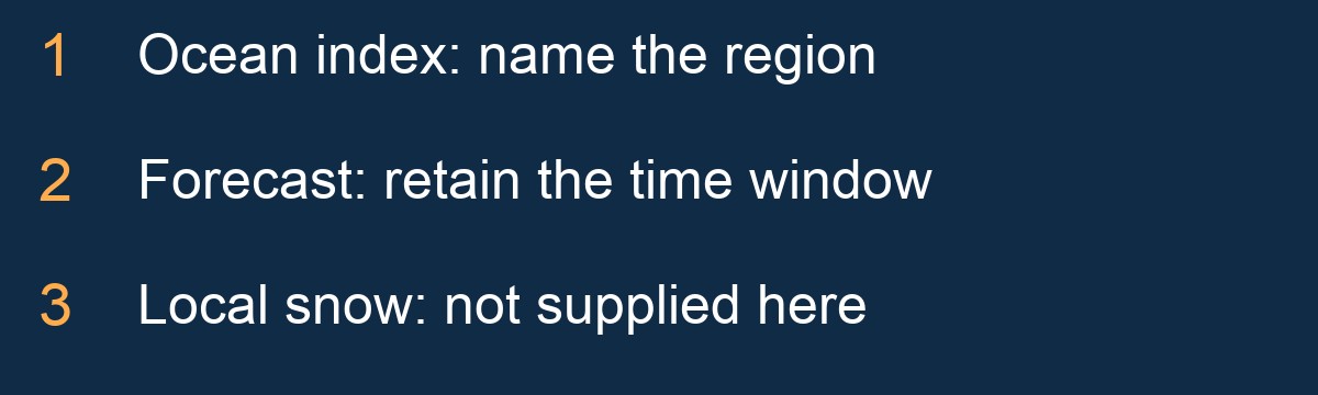
NOAA CPC’s October 8 discussion favours a strong-to-very-strong El Niño through January–March 2027. Its historic-strength probabilities concern a three-month ocean index, not the probability of a Vancouver snowstorm. Different ocean regions and averaging periods are not interchangeable.
A number describing tropical Pacific warmth should therefore travel with its label. Removing the region or time window can make one forecast sound like a different observation. Nor is the warm anomaly a temperature forecast for the street outside a home. The interesting news is the scale and persistence of the Pacific signal; the unsupported leap is to turn it into a precise local winter result.
Why the same headline can mislead two neighbours
The Canadian context is more useful than a dramatic nickname alone. ClimateData.ca’s August 21 explanation favours warmer British Columbia winter averages. That is a seasonal tendency, not a promise about individual cold spells or surfaces.
Two people can read that correctly and still ask different questions. A resident may wonder about a commute; a mountain visitor may wonder about snow; a business may be watching a morning opening. None of those questions is answered by a single seasonal mean. It would be equally misleading to translate the outlook into “no snow” or to assume “exceptional El Niño” means exceptional local snowfall. Neither conclusion follows from the headline.
Snow is a separate question from the seasonal average
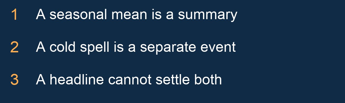
The USGS explanation of El Niño and snow notes that a seasonal temperature average does not necessarily describe temperatures during storms, and that snowfall relationships vary between events. It is an important limit on a neat winter narrative.
Think of the season as a whole book rather than one scene. An average is a summary of that book; it does not tell a reader exactly what every chapter contains. That analogy is not a forecast model, but it explains why a mild overall story can still leave specific weather episodes unresolved. The correct next source for an approaching event is the current official forecast and warning, not a months-old nickname.

What Greater Vancouver should take from the story
The regional takeaway is curiosity with a clear boundary. Follow the dated outlook as it develops, then use nearer-term information for a particular day. Do not export a forecast for another part of North America into a Greater Vancouver snow claim. Do not mistake a fictional illustration for a forecast map.
Local operations add another layer. Vancouver’s public-road priorities and a private property’s requested work are different subjects; neighbouring municipalities publish their own guidance. The weather story does not erase those distinctions. Our linked city editions examine different local questions: New Westminster’s published frontage timing, Port Moody’s pedestrian-route categories and Langley’s changing road priorities. They are local context for the seasonal story, not invented city forecasts.
So who wins—PlowWow or Godzilla?
There is no measured contest to declare. The useful ending is that the reader understands the news better: an unusually strong Pacific event is being forecast, regional effects have uncertainty, and a local snow amount has not been supplied by those sources. Keep the monster in the metaphor.
For a property-specific discussion, prepare a PlowWow enquiry or call 604-761-1518. A starting estimate is not an accepted service booking. Snow Intelligence is a first-year beta; the artwork does not demonstrate automatic weather dispatch or a completed job.
Continue with New Westminster, Port Moody or Langley.